Xtreme PDF and Map App iOS
Powerful and Flexible PDF and Image Viewer and Converter with Map for online/offline data
Show geotagged photos
Georeference a photo or scanned image (rough rubber-sheet to the map) available in 1.1 version


Xtreme PDF & Map App
Full Advanced PDF editor
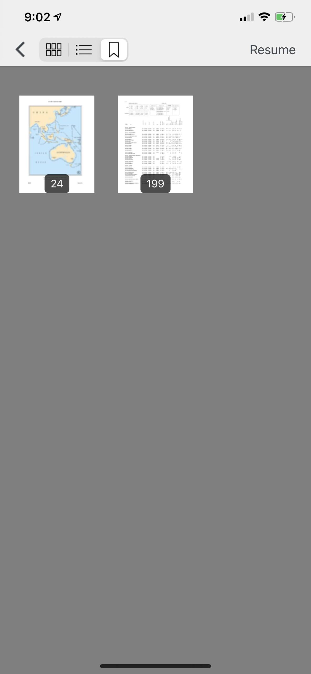
View Pages swipe feature and different views (thumbnails, listings, GRID)
Edit PDF – re-arrange pages, delete pages, insert pages
|
Convert Documents and Images to PDF Extract Pages Split Pages Secure PDF PDF Index Search PDF Annotate
|
Sign PDF Convert Raster Imagery to other formats and to PDF Convert Web Pages to PDF Share Files Make Map Snapshots and annotate them |
Map supports vector tile basemap from OpenMapTiles with Custom Stylesheets and Raster Basemap Picker
Map supports loading User GeoJSON and MBTILES -raster tiles
App includes built in vector data converter (shapefiles, GPKG, KML, GPX, CSV) to GeoJSON
Available on NGA GEOINT APP STORE for Government Users
File Manager
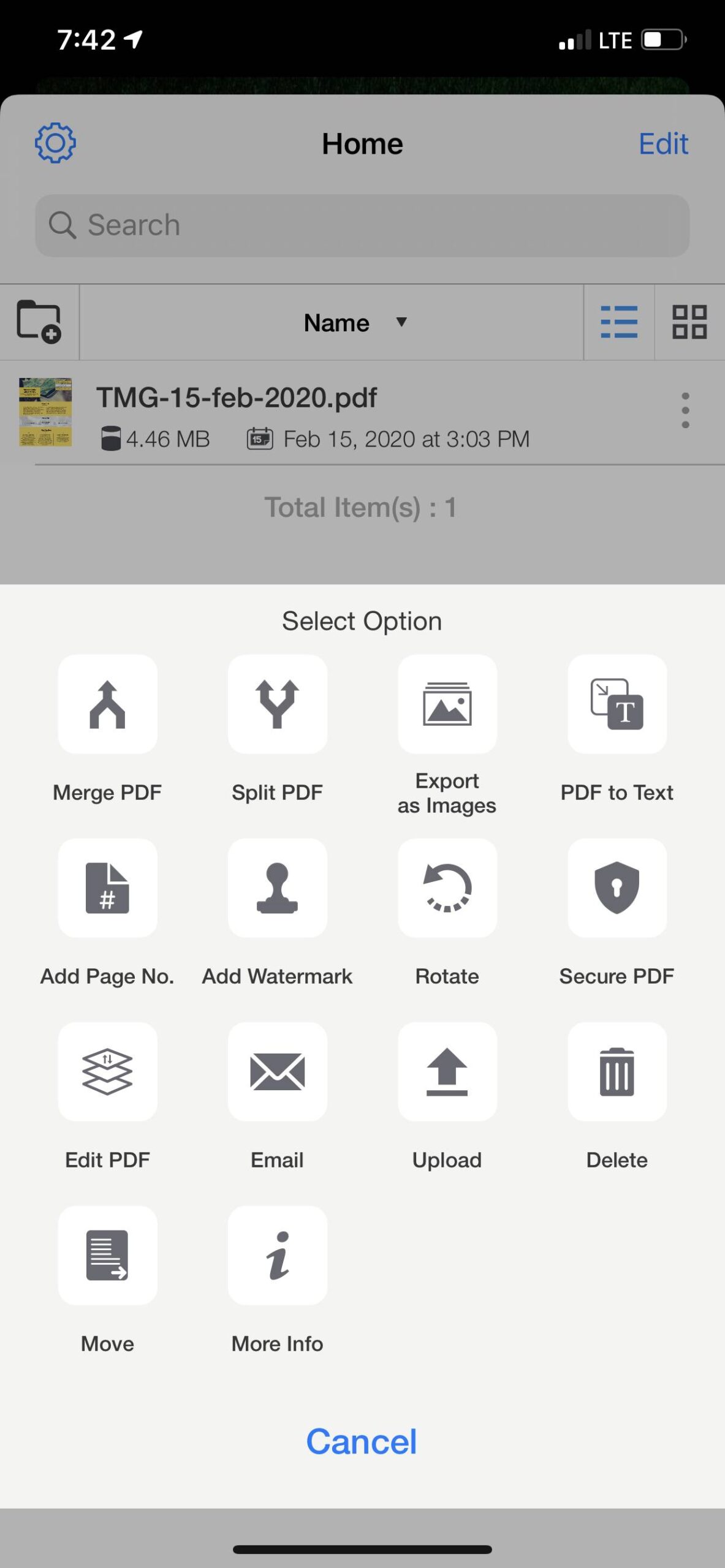
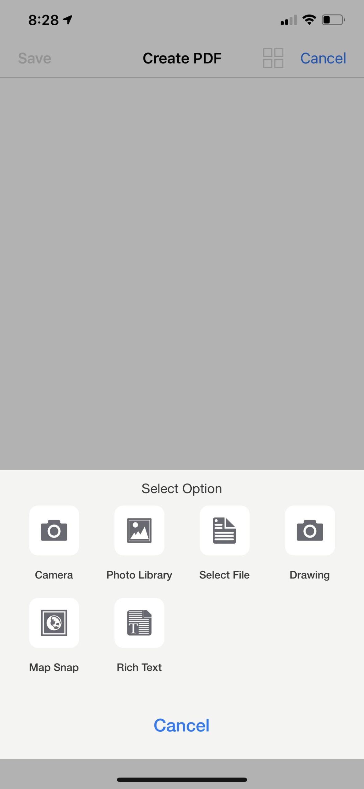
![]() Click on the ‘+’ icon , popup window appears where you can upload and download files.
Click on the ‘+’ icon , popup window appears where you can upload and download files.
Scanner, PDF Tools, Drawing, Add Photos,Web to PDF, Import Files

")
Import and Upload Files from
Cloud File Sharing Service & WebDav
You can import & upload files (Documents & images) from your directory & clouds. You can edit and convert into pdf.


Import From URL (Download Files)
You can download files from url. Just paste the url into the textbox and download it.

Wifi Share
Allow File Sharing Across Network
Click on ‘Setting’ , you can allow your pdf with file sharing access across the network.
On any device with browser on the network you can access a web page and view and upload and download files


Other Features
PDF Options
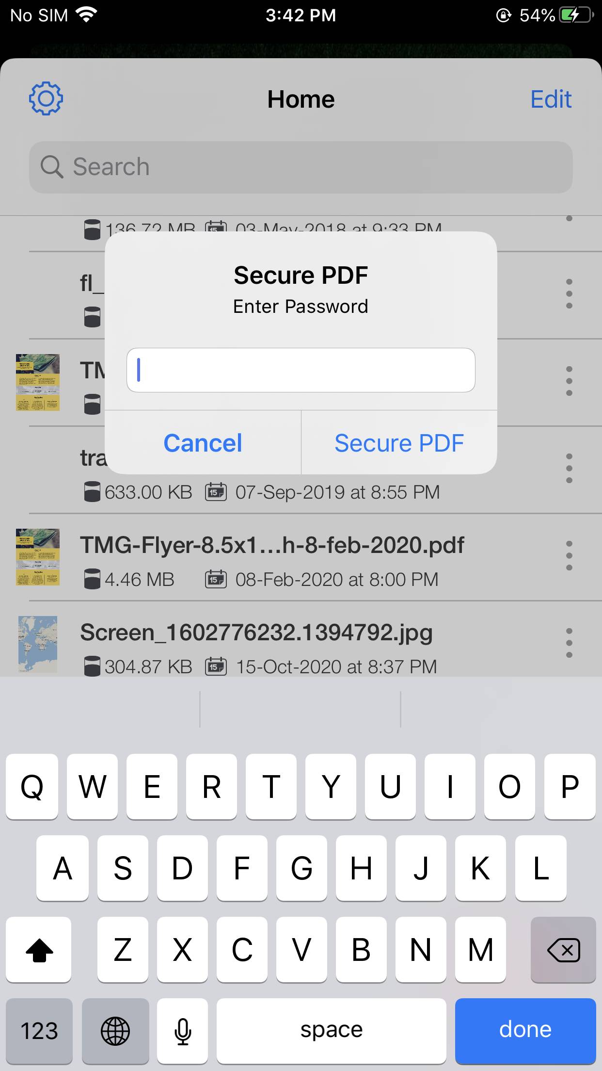
Secure PDF
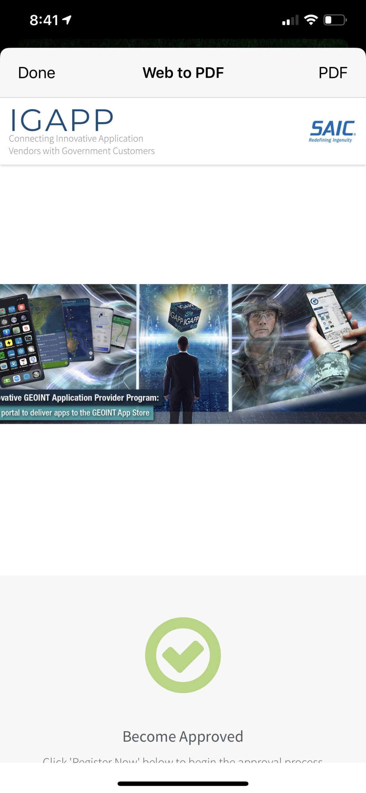
WebPage to PDF
Bookmark PDF


Image Conversion
Main Application for PDF and Image Viewing and Conversion
You can add images or export pdf as images and convert images into different output formats like Tiff, BMP, JPEG, JPEG2000, GIF, PNG.
Can batch convert images to other formats for multiple files selection.
PDF Creation and Editing
Create PDF (Scanner)
Edit PDF
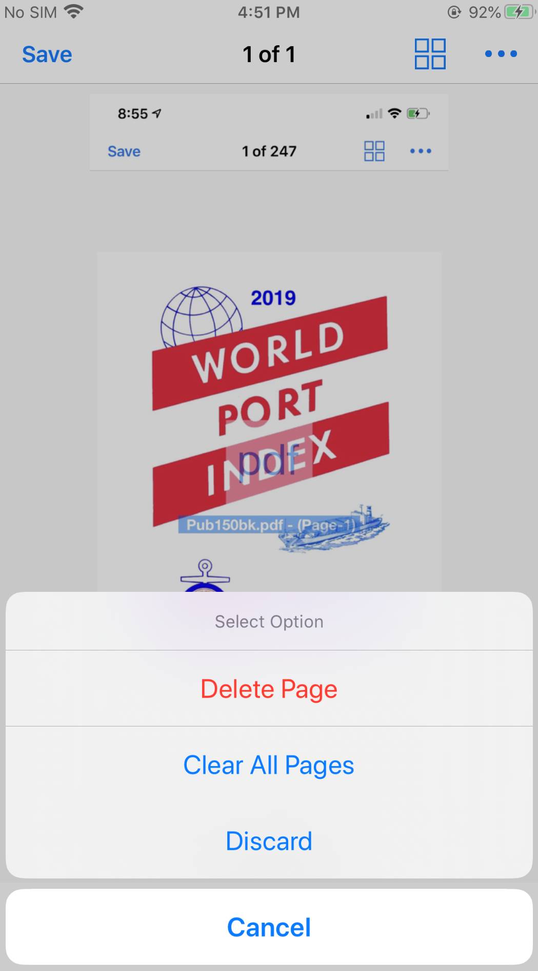
Delete Pages
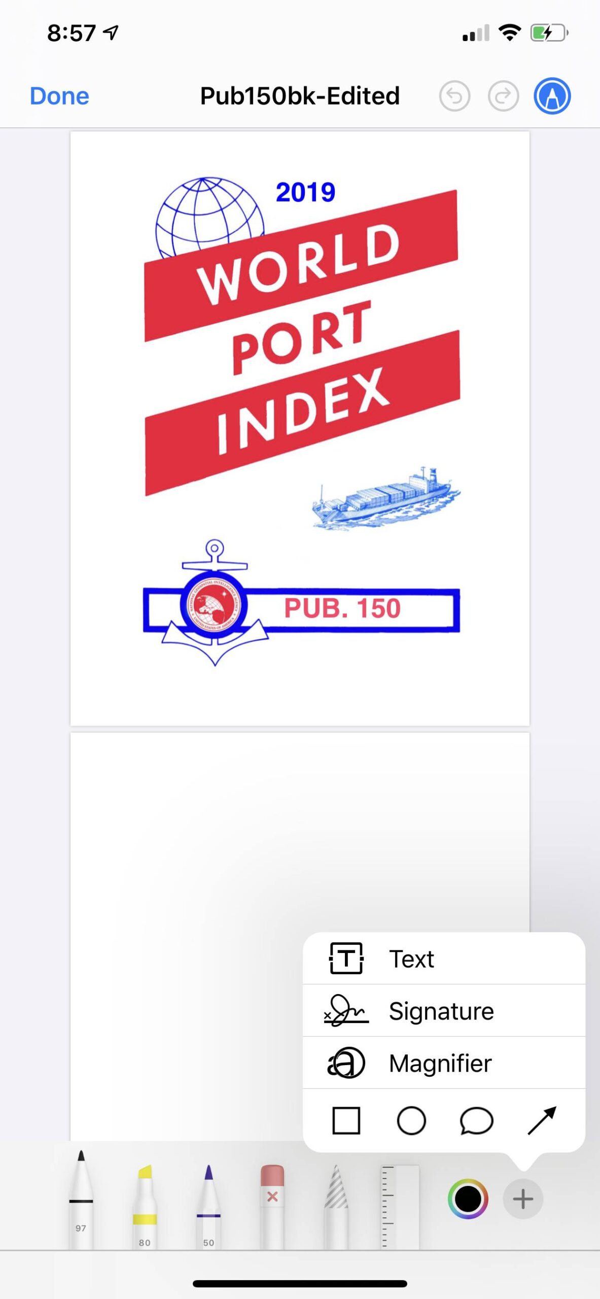
PDF Annotation & Text Signature
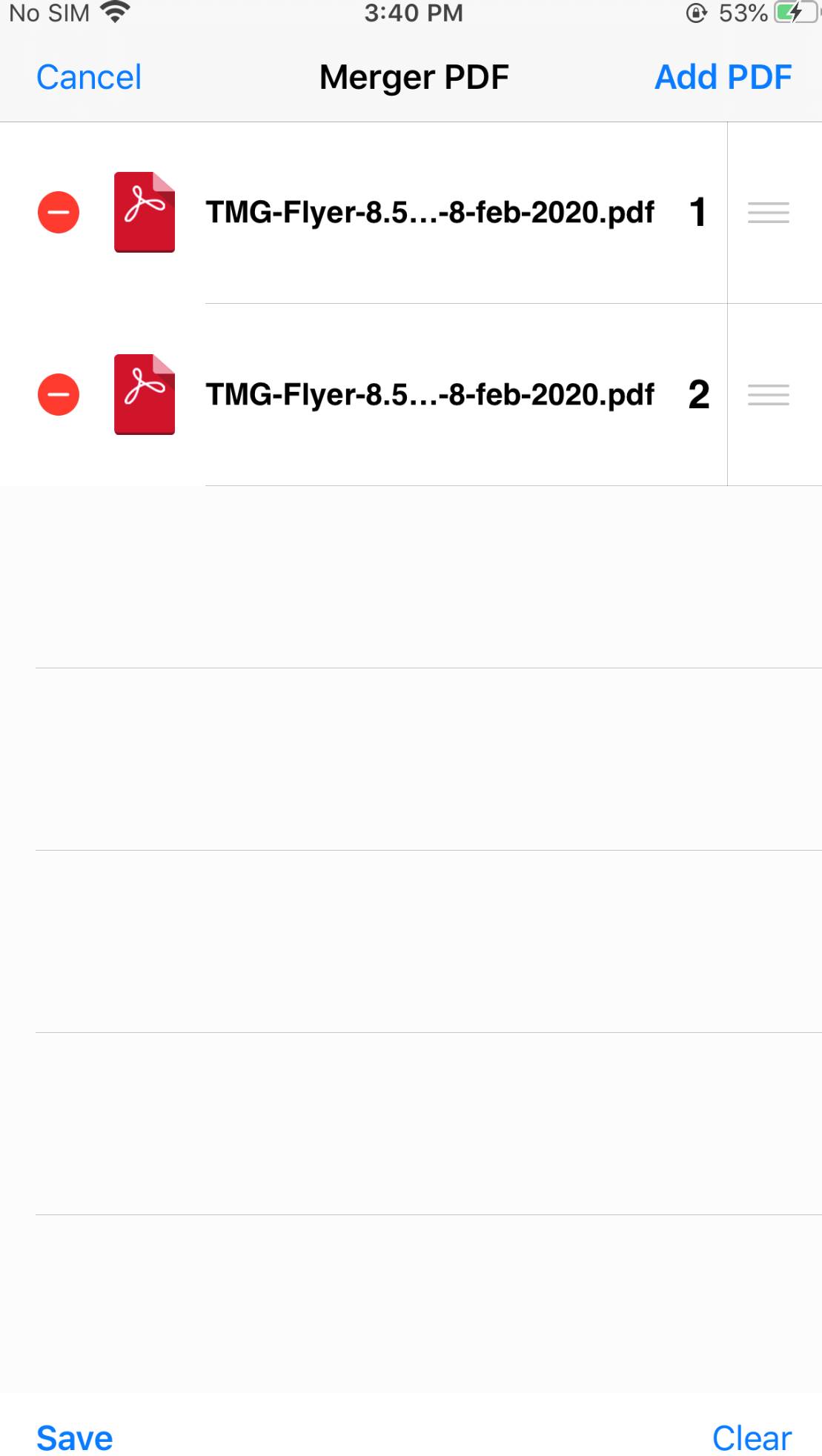
Merge PDF
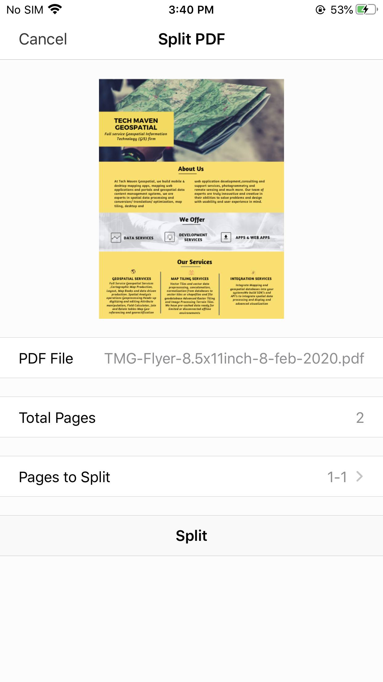
Split PDF
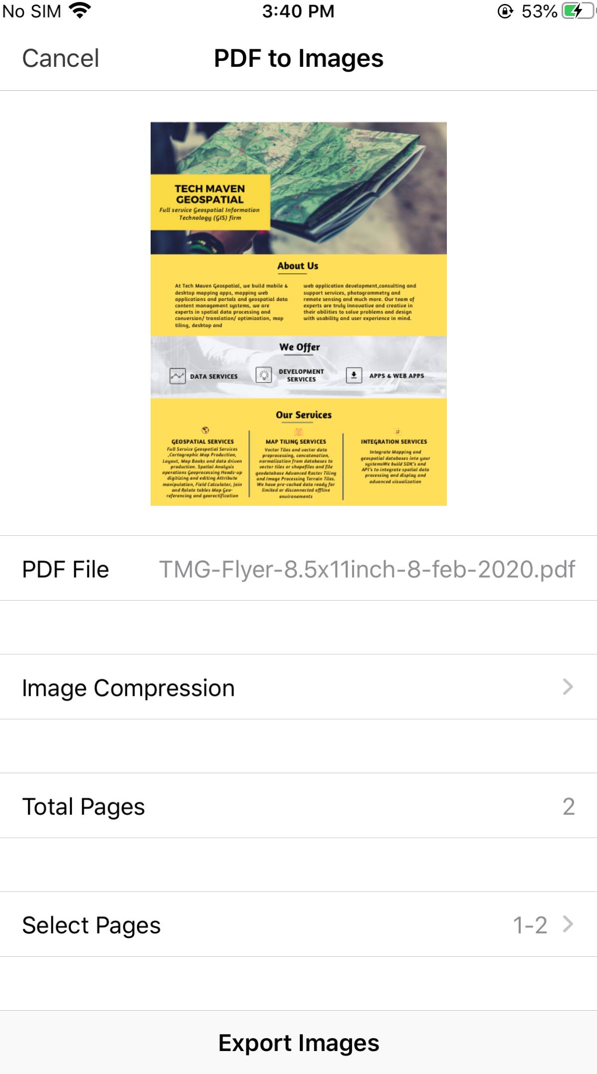
Export as Images
PDF to Text
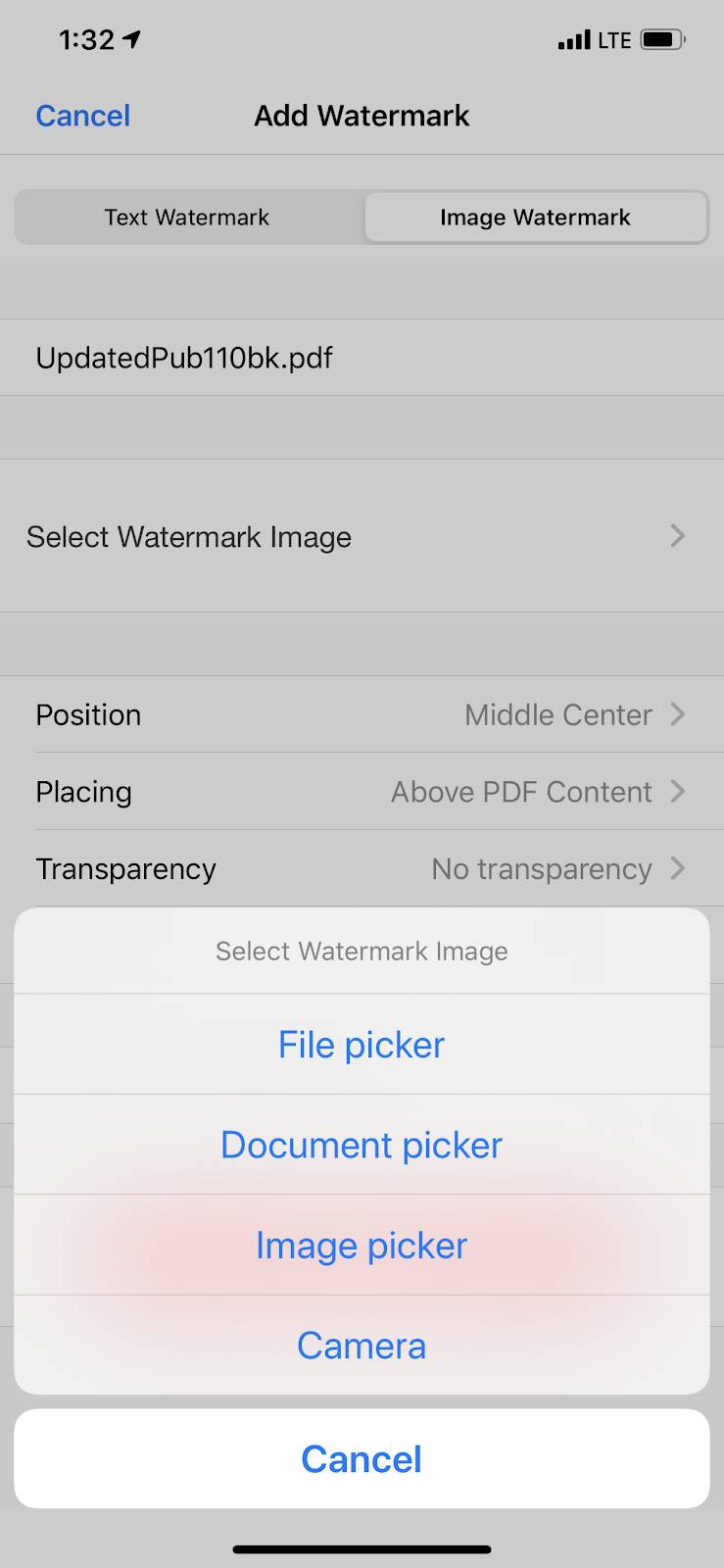
Add Watermark
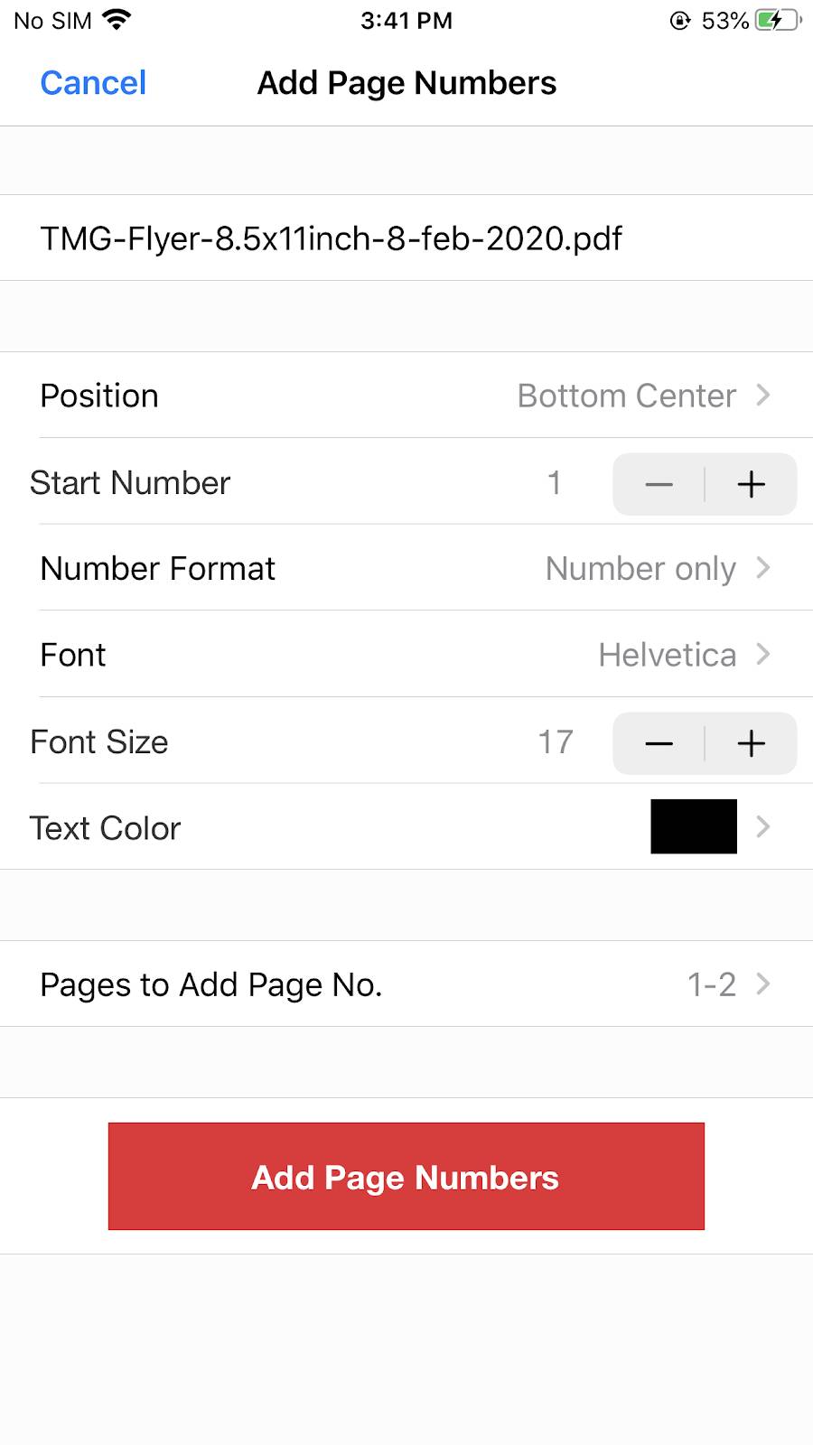
Add Page No.
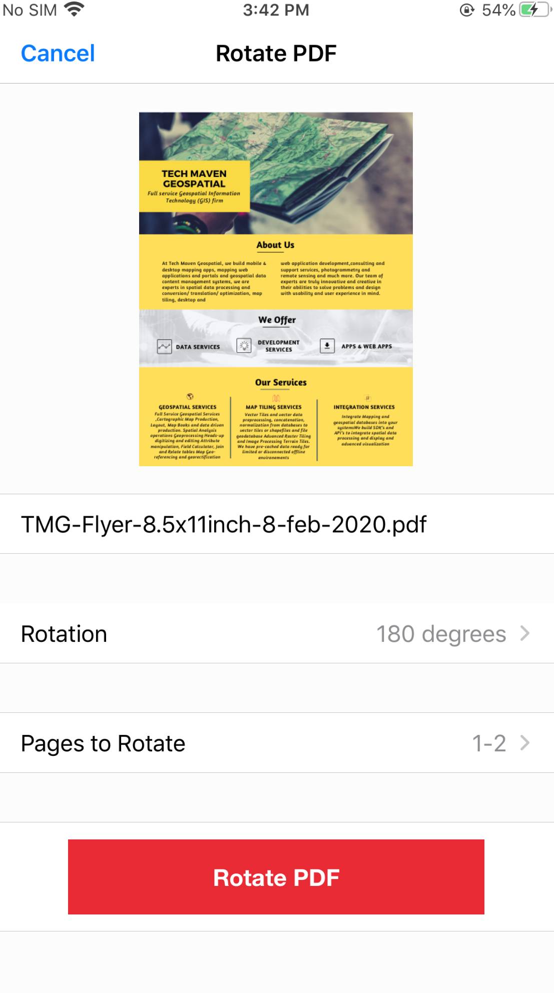
Rotate PDF
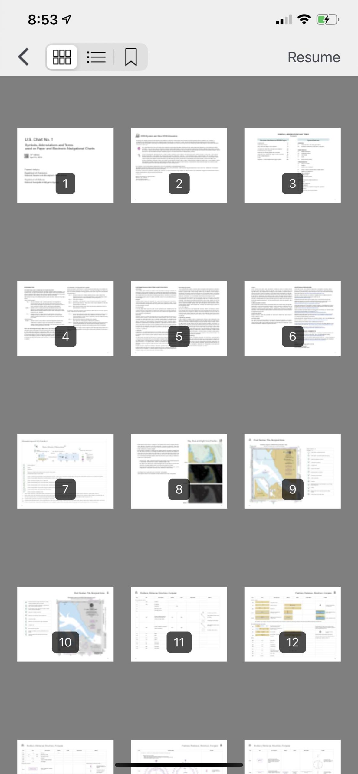
View Pages swipe feature and different views (thumbnails, listings, GRID)

Maps & GPS Tracker
Shows tracking information with distance,time, speed, and coordinates on map
Using ‘GPS tracker’, you can start your tracking with the ‘Start’ button and you can also pause/resume it.It shows tracking information with distance,time, speed, and coordinates on map.You can save your location as GPX, Geojson files and load it on map.